In the interest of safety, the U.S. Army Corps of Engineers is implementing the Formerly Used Defense Sites (FUDS) Interim Risk Management (IRM) Notification and Safety Education initiative at FUDS where investigations, removal or remedial actions are not planned to be conducted for an extended period of time.
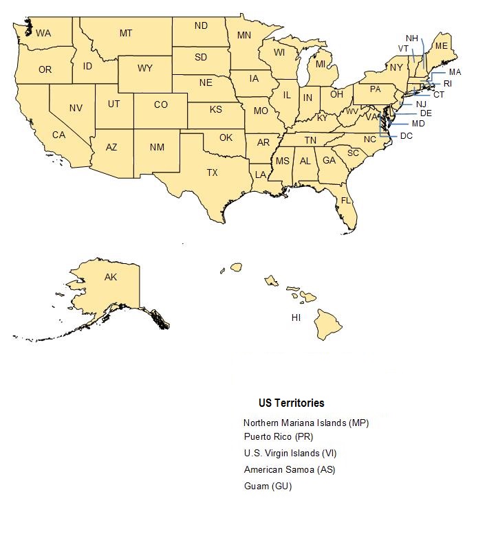
To view the FUDS where Notification and Safety Education materials have been sent to landowners, select a state on the map below. The link will open a new window with an interactive map that depicts the FUDS for that state. The interactive map can used to zoom into a specific FUDS. To see where a property is located in relation to a FUDS, enter an address into the search box in the upper left corner of the interactive map. To obtain information about a FUDS, click on the FUDS boundary and a box will appear for that FUDS. The information box also includes a link to the safety guide for that FUDS. The background of the map may be changed by selecting any of the basemap options in the upper left side of the map.
Please note, the FUDS depicted in each state will be updated as new Notification and Safety Education activities occur.
